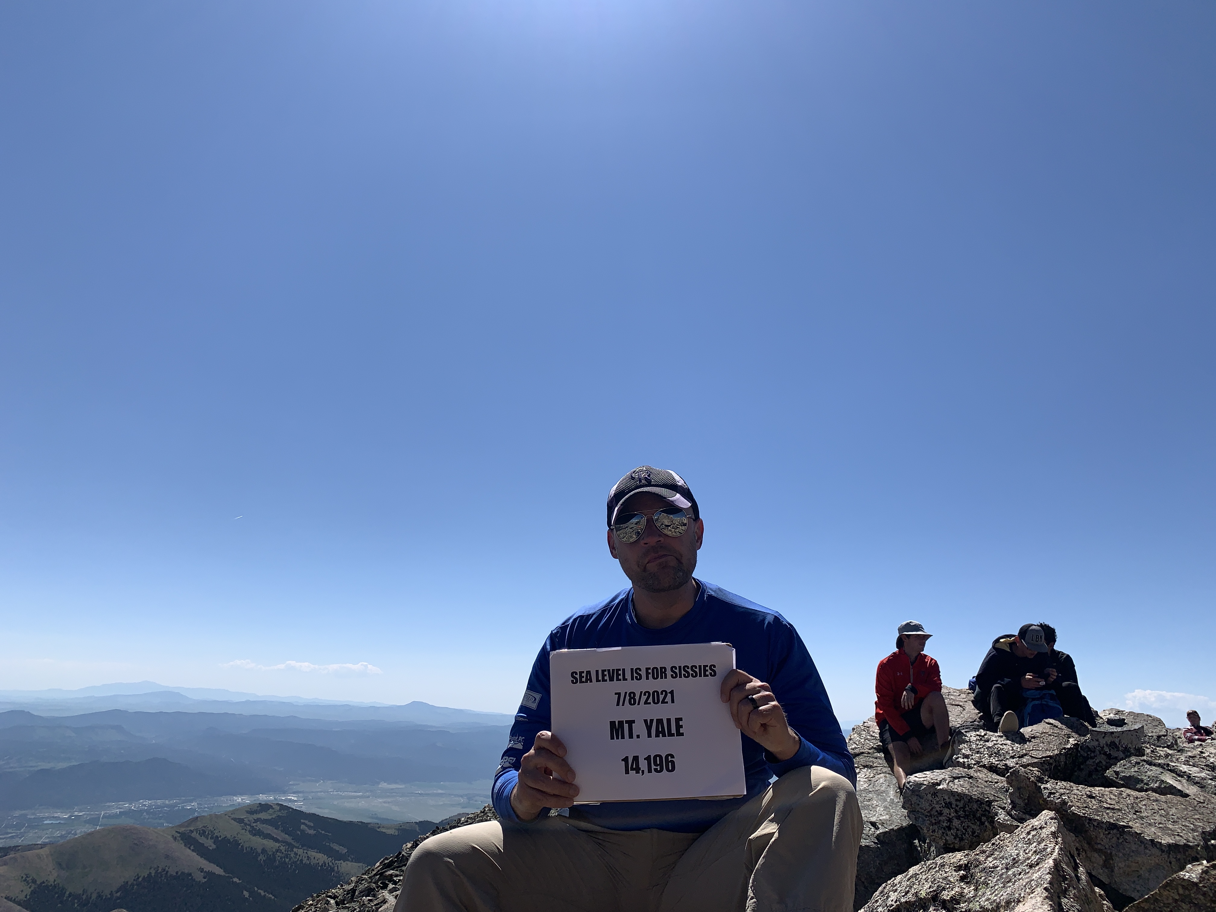
Deep in Colorado’s mighty Sawatch Range, about a dozen miles west of Buena Vista, Mt. Yale scrapes the sky and beckons climbers to scale its lofty 14,200-foot peak. It’s one of fifteen 14ers in the Sawatch, making this range the highest in the state. It’s also one the “collegiate peaks,” along with Harvard, Oxford, Columbia, and Princeton.
The first known ascent of Yale by a non-Native American was Josiah Whitney in 1869. In the late 19th century, the one-foot difference between Yale and nearby Mt. Princeton prompted alumni of the rival schools to pile rocks at the top of their respective peaks to make theirs taller. Today, according to the US Geological Survey the two mountains are exactly the same elevation—maybe the government’s way to encourage compromise between these two Ivy League rivals?
Yale is a popular hike with out of state tourists because of its mellow trail and easy accessibility. It is approached from the Denny Creek trailhead at 9,900 feet, located west of Buena Vista on county road 306—the Cottonwood Pass road. There is a large paved parking lot on the north side of the road, but it does fill up quickly in the summer months so come early. You might see old maps and guides refer to the Denny Gulch trailhead, which is just east of Denny Creek, but the National Forest Service has closed that route due to erosion and environmental issues.
From the trailhead, the hike is 9.5 miles round trip with 4,300 feet of elevation gain. After an initial short climb, the trail levels off and meanders through a lush valley. At one mile, you’ll cross Denny Creek on a log bridge—the first of several picturesque stream crossings. At 1.3 miles, turn right (northwest) at the junction with the Hartenstein Lake trail. From here, you’ll hike through a lush aspen forest before crossing another stream. Not long after, the trail rambles through a series of meadows rife with serene camping spots. Yale can be easily climbed in a day, but these camping spots would make this hike an excellent choice for a backpacking trip if you want to make a weekend out of it.
After about two miles, the trail switchbacks up to treeline, then levels off somewhat and proceeds on a long tangent to the north across the tundra before steepening again to gain Yale’s northwest ridge.
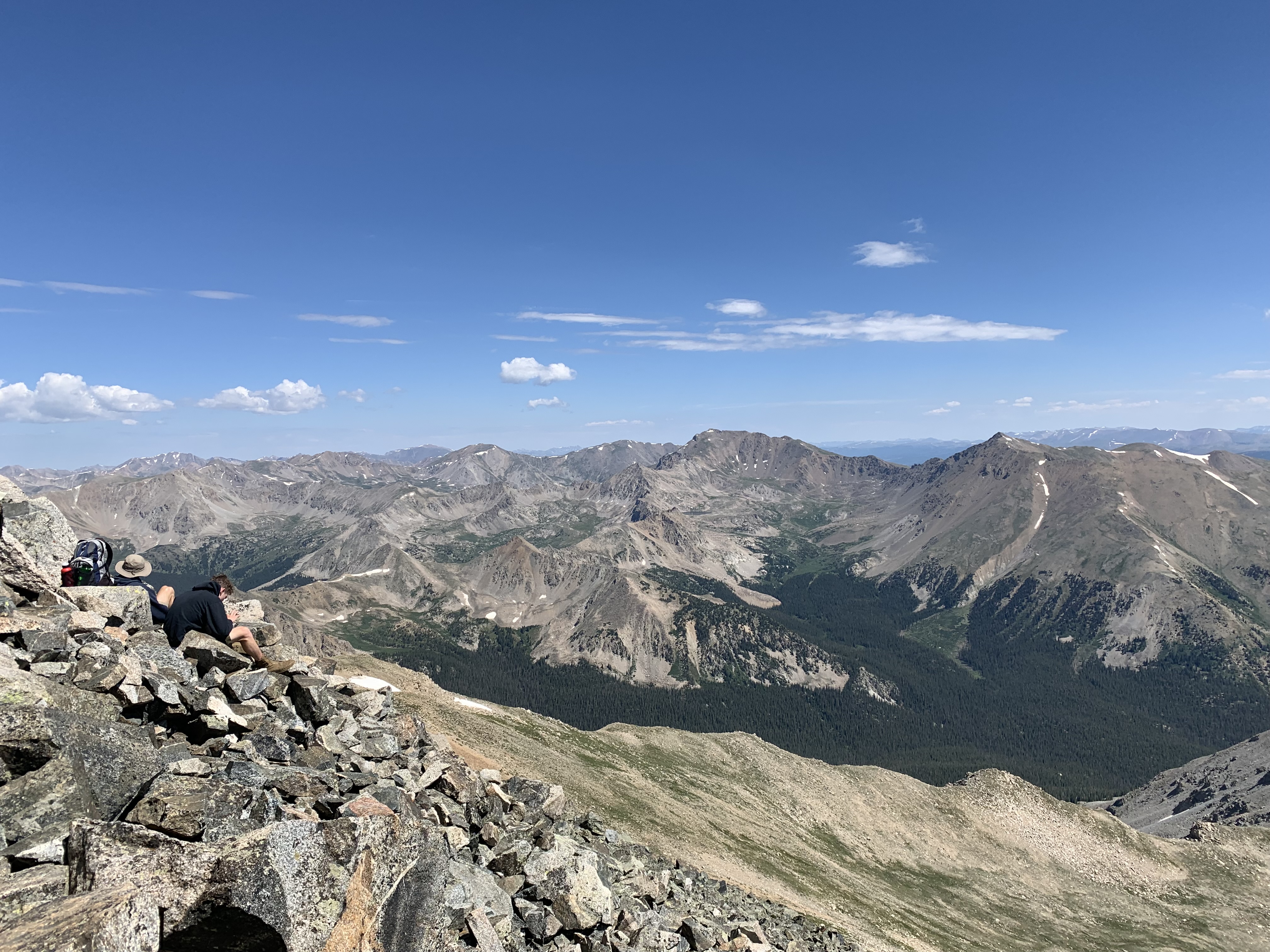
At the ridge crest, turn southeast and follow an occasionally cairned trail along the ridge line, at times staying to the right (southwest) side. The route finding isn’t too difficult—just keep a lookout for cairns or short stretches of trail segments. The hiking is relatively easy along the ridge, with only light scrambling required. In no time, you’ll find yourself on Yale’s spacious summit. You’ll be rewarded with fine views of Yale’s collegiate cousins and the rest of the glorious Sawatch Range—Colorado’s spine.
As mentioned before, Yale is popular with out of state hikers. By 14er standards, it is a relatively easy and short hike, and the trailhead is located on a major paved road. Yale is often considered a “training” 14er for the more technical mountains in Colorado. While I wouldn’t recommend it as anyone’s very first 14er, with some basic conditioning and a short period of acclimatization for visitors, Yale is a fine choice as a beginner 14er.
Watch my video trail guide on YouTube: https://youtu.be/LVGhJUU4D1w